CSIR Technology Portal

 Technology Profile

Title:

City Air Pollution Monitoring and Prediction System – CAMPS
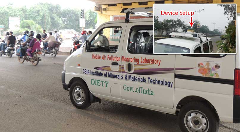
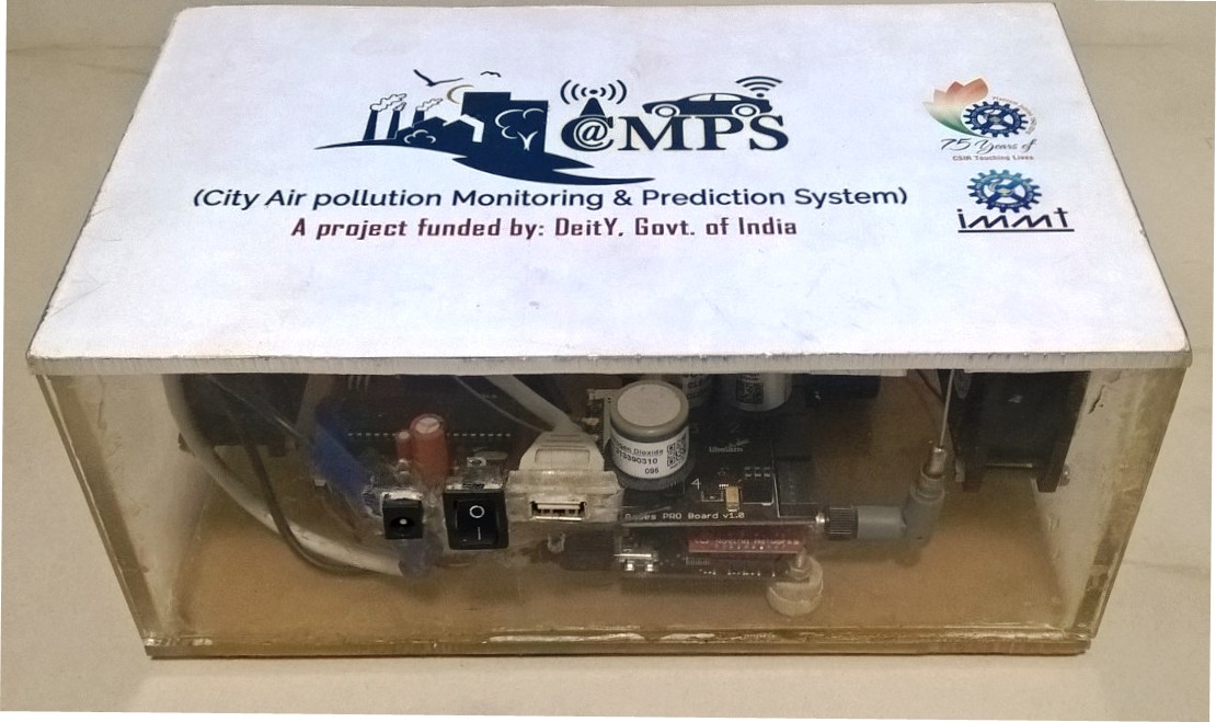
Value Proposition:

The system can monitor the city air pollution at a granular level. The profile of air pollutants like Ozone, VOC, CO, NO2 etc. over the city has been calculated based on developed spatial models on a Geographic Information System (GIS) platform from the measured location based pollution level.

The pollution level has been measured through a moving node equipped with software controlled and operated apparatus with gas sensors, Global Positioning System (GPS) and wireless communication device for real time data communication and spatial analysis at the centralized server in cloud.
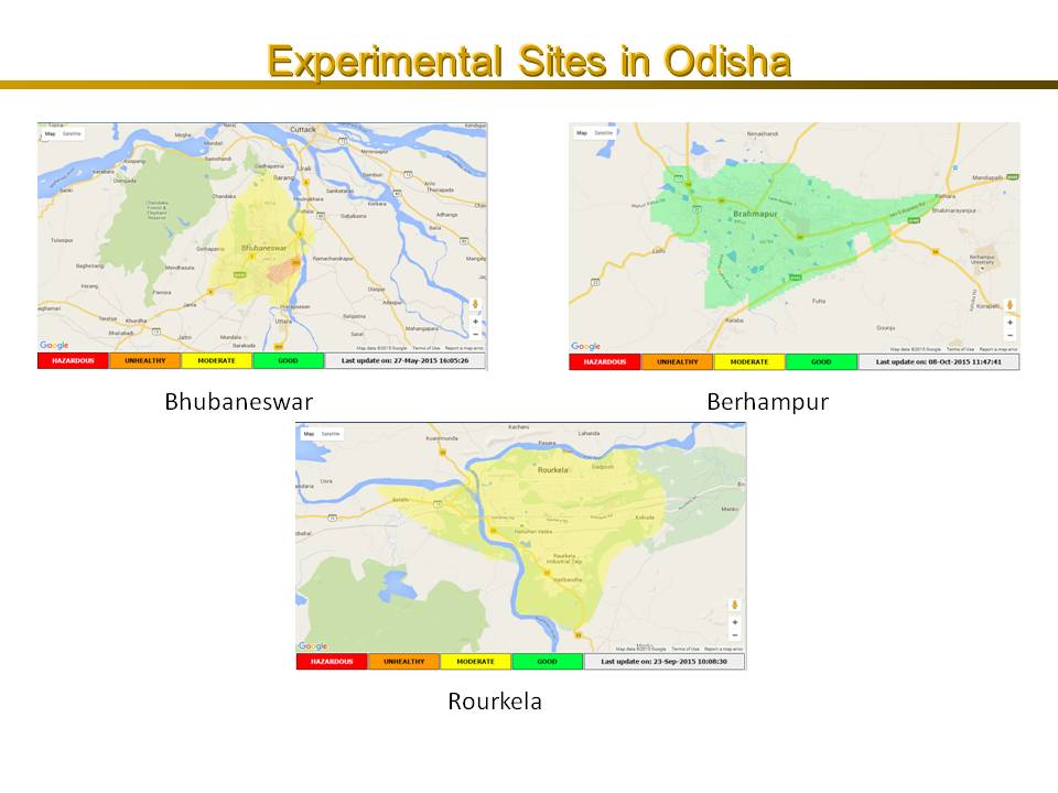
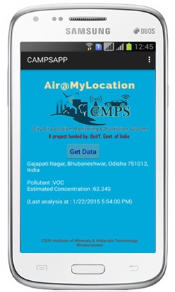
Summary Application:

The system focuses towards the measurement of air pollutants in a moving node unlike portable static nodes.
The System relates to Monitoring of air pollutants in different cities using moving sensor node in GSM network by a software operated air sampling box, which is capable of real time and continuous monitoring of different prevailing parameters of air pollution such as Ozone (O3), Carbon Monoxide (CO), Carbon Dioxide (CO2), Nitrogen Dioxide (NO2) and VOC etc. The data get aggregated in cloud in real time through GPRS and spatially analyzed in a synchronized mode. Instead of static stations it deals with a mobile platform for data acquisition and transmission from dynamically changing sampling points.

A bird's eye view of the pollutant spatial distribution has been disseminated through a website for a general awareness. The dataset, thus calculated are of approximation based on the developed & validated Geographic Information System (GIS) model for a predictive analysis. Further it uses geo-statistical methods for the absolute prediction of fine-grain air quality to interpolate/estimate the values and its impact for intervening points.
The sensors are organized in the devised software controlled air sampling box in a moving van for continuously monitoring of air pollutants. A GPS has been used in the system which specifies about the longitude and latitude of the particular location of measurement with time stamp.

Advantages:
  • Portability and mobility of the system, which can collect sensor generated air pollution records from various locations of an area at different intervals thereby performing a real-time analysis to construct a grid over a map presenting a diverse level of pollution.
  • The device can be mounted over a vehicle and monitor the location based air pollutants in a moving condition sending the data to cloud.
  • Simultaneous deployment of the developed device in multiple vehicles can be carried out to establish the accuracy of profiling.
  • Handy cost effective device that can be fitted in public transport for more accurate and granular information on city pollution, an initiative under Swasth Bharat.
  • Mobile application for pollution information as location based services, under Smart City initiative and Digital India.
  • Cost effective system for centralized monitoring of ambient air pollution adjacent to industrial and mining belt.
Tech. Readiness Level:
CSIR-Institute of Minerals and Materials Technology
CSIR-Institute of Minerals and Materials Technology[CSIR-IMMT]
:  dir[at]immt[dot]res[dot]in
:91-674-2567126, 2379401
:https://www.immt.res.in
Industrial Applications: Devices and Equipments [Environmental (Clean Tech.)] Instrumentation, Appliances, Devices Applications [Instrumentation, Appliances, Devices] Monitoring [Environmental (Clean Tech.)] Real time [Computers and Electronic Data Processing] Sensors [Electronics] Software [Computers and Electronic Data Processing]
Photograph(s)